Pompanoosuc: 1931 and today
The U.S. Geological Survey map of 1931 and a recent aerial photograph, lined up on the same ground. Old Route 5 and the covered bridge site are in red on both.
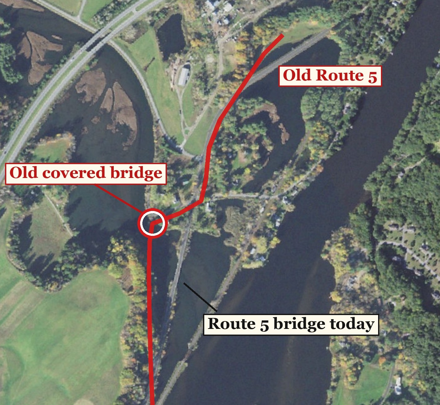
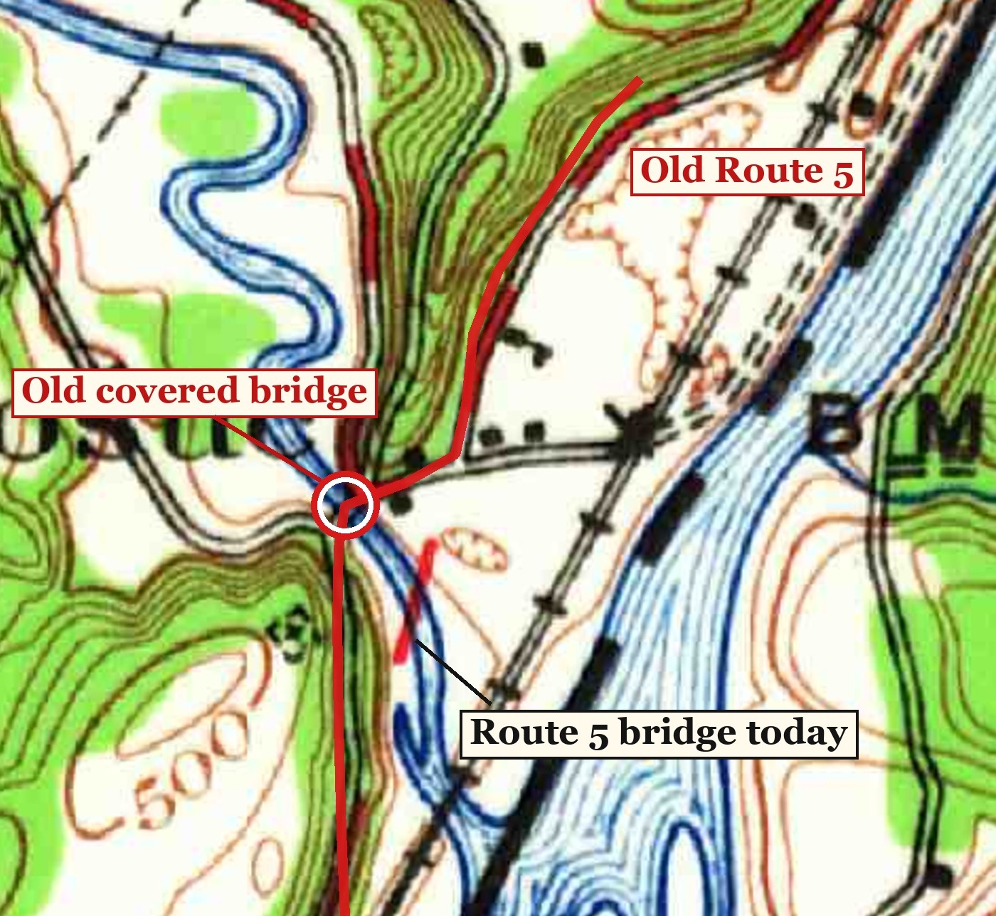
Today1931 map
From The Bridge at Pompanoosuc on The Curioustorian. Map: USGS Mt. Cube quadrangle, 1931. Aerial: USGS, The National Map.